This text is part of the Teaching Hard History Text Library and aligns with Key Concept.
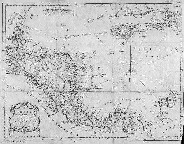
An enlarged and zoomable version of this image can be found here.
This text is part of the Teaching Hard History Text Library and aligns with Key Concept.
An enlarged and zoomable version of this image can be found here.